Easy
Warmbad Archaeology Trail
Hiking Trail
Information
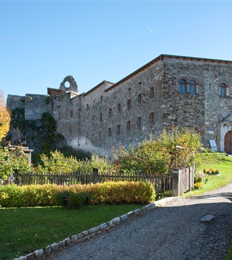
The Warmbad Archaeology Trail opens up new insights for hikers and history enthusiasts along a beautiful six-kilometer-long path with 13 information boards in the Alpine-Adriatic languages and English about the historical settlement and former use of this area.
And here there is really exciting stuff to discover:
- The region around Warmbad Villach was already settled in the Bronze Age, as evidenced by burial mounds.
- What is today a European protected area and nature park was still an industrial area in the 19th century.
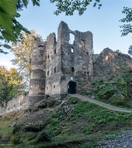
- The archaeology trail spans from the late antique hill settlement at Tscheltschnigkogel, via the Durezza shaft cave with the remains of 20,000 human bones, to the industrial use of the area with lime kilns, shot and brick factories.
SETTLEMENT WITH A FAR REACHING VIEW: THE TSCHELTSCHNGKOGEL (KADISCHEN)
The name for the 695 m high limestone summit on the eastern foothills of the Villacher Alpe comes from the Tscheltschnigg family, who were residents of the Judendorf community and owners...
Hiking Trail
Difficulty
Easy
Distance
5,98 kmDuration
01:53 hUphill
202 mDownhill
196 mMax. Altitude
695 mMin. Altitude
495 mMap & Elevation Profile
Recommended Equipment
Outdoor shoes with good tread sole, food and drink, rain protection, etc.
Features & Characteristics
Experience
Landscape
Endurance
Best Season
Jan
Feb
Mar
Apr
May
Jun
Jul
Aug
Sep
Oct
Nov
Dec


