Medium
Austria & Italia loop (3)
Hiking Trail
Information
From the mountain station leisurely, in a large loop via Austria and Italy to the 3-country point
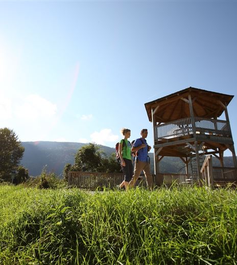
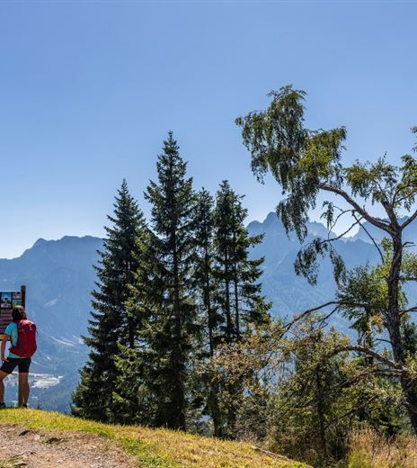
The route forms a loop through two countries of the Alpe Adria region and impresses with varied and partly historic trail sections offering beautiful views of the Julian Alps and the Villacher Alpe.
Hiking Trail
Difficulty
Medium
Distance
5,11 kmDuration
03:00 hUphill
233 mDownhill
233 mMax. Altitude
1508 mMin. Altitude
1327 mMap & Elevation Profile
Recommended Equipment
Hiking boots with profile soles, backpack, functional underwear, rainwear, hiking poles, food and drink, map material, first aid kit, mobile phone
Features & Characteristics
Experience
Landscape
Endurance
Best Season
Jan
Feb
Mar
Apr
May
Jun
Jul
Aug
Sep
Oct
Nov
Dec
Arrival
Take the A2 or B83 or B111 towards Arnoldstein. At the western edge of town, an asphalt road branches off to the valley station of the Dreiländereck ski and hiking area (Seltschach).


