Easy
Castle Landskron - Winery Walk
Theme trail
Information
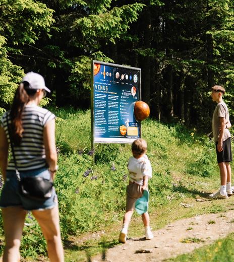
Seven information panels along the way provide information all that is worth knowing about viticulture in Carinthia and especially atthe Burg Landskron. Answer the quiz questions to sho how much you know about wine!
Theme trail
Difficulty
Easy
Distance
697,00 mDuration
00:45 hUphill
48 mDownhill
22 mMax. Altitude
669 mMin. Altitude
621 mMap & Elevation Profile
Recommended Equipment
Leisure clothing and outdoor trekking shoes.
Features & Characteristics
Experience
Landscape
Endurance
Best Season
Jan
Feb
Mar
Apr
May
Jun
Jul
Aug
Sep
Oct
Nov
Dec
Arrival
By car from Villach to Landskron and then on Ossiacher Strasse towards Ossiacher See. At the intersection Schoenwirt turn right into Max-Lautritsch-Strasse and then take the first left into Mautstrasse.


