Medium
Erzberg Höhenweg - Schwandnock to Spitzeck
Mountain Tour
Closed
Information
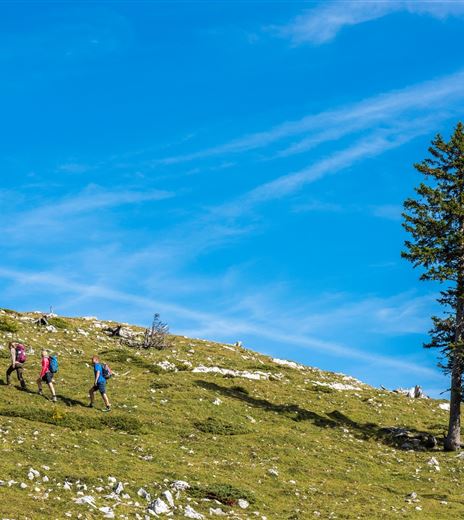
This section of the Erzberger Höhenweg guides the hiker over three peaks of the Bleiberger Erzberg and offers beautiful views of the Drau Valley and the Hohe Tauern.
The circular route follows the well-marked and technically easy trails of the Alpine club.
Mountain Tour
Difficulty
Medium
Distance
14,97 kmDuration
06:00 hUphill
903 mDownhill
903 mMax. Altitude
1516 mMin. Altitude
876 mClosed
Map & Elevation Profile
Recommended Equipment
Mountain boots with lug soles, backpack, functional underwear, rain gear, trekking poles, food and drink, maps, first aid kit, mobile phone
Features & Characteristics
Experience
Landscape
Endurance
Best Season
Jan
Feb
Mar
Apr
May
Jun
Jul
Aug
Sep
Oct
Nov
Dec
Arrival
Bad Bleiberg is accessible via the Gailtal feeder motorway A2 (Hermagor exit) or via the A10 (Villach West exit). Then proceed via federal roads up to the high valley.


