Hard
Ossiacher See Trail
Hiking Trail
Information
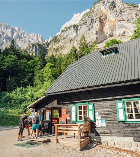
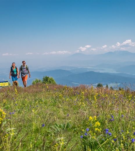
This challenging but uniquely beautiful hike leads around the emerald-green Ossiacher See.
This hike circles the Ossiacher See. It is recommended to do the hike over two days – one day for the northern shore, then the southern shore, returning each time by boat to the starting point. The sections can of...
Hiking Trail
Difficulty
Hard
Distance
35,20 kmDuration
16:00 hUphill
1500 mDownhill
1500 mMax. Altitude
998 mMin. Altitude
501 mMap & Elevation Profile
Recommended Equipment
Hiking boots with profile sole, backpack, functional underwear, rain gear, trekking poles, sufficient food and drink, maps, first aid kit, mobile phone
Features & Characteristics
Experience
Landscape
Endurance
Best Season
Jan
Feb
Mar
Apr
May
Jun
Jul
Aug
Sep
Oct
Nov
Dec
Arrival
The best access is via the A10 motorway - exit "Ossiacher See."


