Easy
Nature Reserve Schütt
Hiking Trail
Information
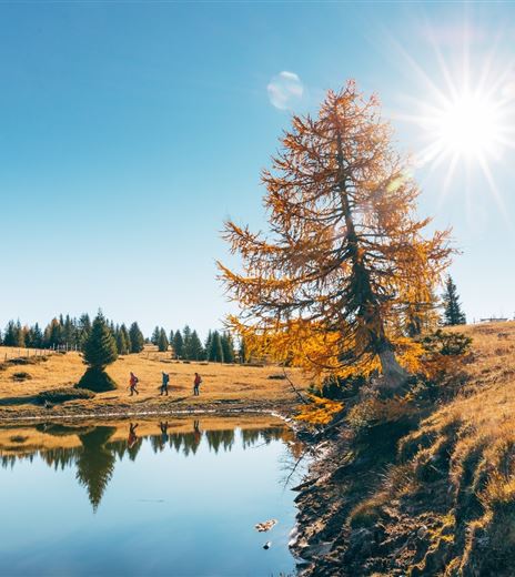
A relatively short and flat hike through the landslide area of "Schütt."
The southern side of the Dobratsch and the extensive landslide area of "Schütt" is not only one of the most impressive and scientifically-interesting landscapes of Carinthia, it is also one of the major natural landscapes of the entire Alps region.
Hiking Trail
Difficulty
Easy
Distance
7,70 kmDuration
02:00 hUphill
133 mDownhill
133 mMax. Altitude
551 mMin. Altitude
517 mMap & Elevation Profile
Recommended Equipment
Hiking or athletic shoes, drinking water and rain jacket.
Features & Characteristics
Experience
Landscape
Endurance
Best Season
Jan
Feb
Mar
Apr
May
Jun
Jul
Aug
Sep
Oct
Nov
Dec
Arrival
You can best reach the Oberschütt Fire Station parking lot by taking the A2 highway (exit "Villach-Warmbad") and then driving on the L30, Schütter Straße.


