Easy
R3 Gailtal Cycle Path
Cycling
Information
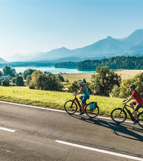
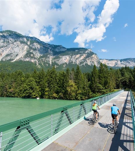
The Gailtal Cycle Route R3 runs parallel to the Italian border and mostly gently downhill along the Gail.
In the southwest of Carinthia, families prefer cycling on the Gail Valley cycle path "R3". This approximately 90 km long route runs parallel to the Italian border and is clearly marked with green signs and white ground markings. Children and...
Cycling
Difficulty
Easy
Distance
83,79 kmDuration
06:00 hUphill
107 mDownhill
290 mMax. Altitude
700 mMin. Altitude
489 mMap & Elevation Profile
Features & Characteristics
Experience
Landscape
Endurance
Best Season
Jan
Feb
Mar
Apr
May
Jun
Jul
Aug
Sep
Oct
Nov
Dec
Arrival
Anreise mit dem PKW:
Von Hermagor über die B111 (Gailtal Straße) oder von Oberdrauburg über die B110 (Plöckenpass Straße) bis Kötschach-Mauthen.


