Medium
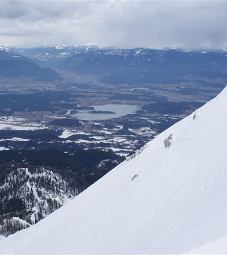
Schwarzkogel and Murnovec
Back-country skiing
Back-country skiing
Difficulty
Medium
Distance
9,33 kmDuration
03:00 hUphill
1129 mDownhill
1129 mMax. Altitude
1842 mMin. Altitude
919 mMap & Elevation Profile
Recommended Equipment
Route equipment (avalanche transceiver, probe, avalanche shovel, crampons), change of clothes, warm drink, first aid, cell phone)
Features & Characteristics
Experience
Landscape
Endurance
Best Season
Jan
Feb
Mar
Apr
May
Jun
Jul
Aug
Sep
Oct
Nov
Dec
Arrival
From Villach to Finkenstein and turn right in the town center towards the Finkenstein castle ruins or towards Baumgartner Höhe (919m). Then follow the signs to Baumgartnerhof/Baumgartnerhöhe.


