Easy
Tabor Circuit
Hiking Trail
Information
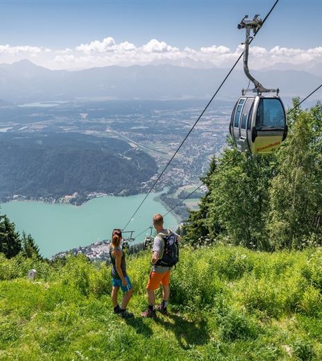
First comes the ascent, then the romance- this is a lovely hike at sunset with a heavenly view over Lake Faak.
In order to see anything, you must be up high in the mountains. Tabor Peak stands at 725 meters and offers an optimal vantage point of the land below, for those who want a romantic view.
Hiking Trail
Difficulty
Easy
Distance
3,57 kmDuration
01:30 hUphill
185 mDownhill
195 mMax. Altitude
723 mMin. Altitude
563 mMap & Elevation Profile
Recommended Equipment
Athletic shoes and drinking water.
Features & Characteristics
Experience
Landscape
Endurance
Best Season
Jan
Feb
Mar
Apr
May
Jun
Jul
Aug
Sep
Oct
Nov
Dec
Arrival
You can reach Lake Faak with the A2 highway- exit "Villach-Faaker See"- or with the A11 at exit "St. Niklas."


