Medium
Toghy Trail connection Ostriach - MTB route 12 - T02
Mountainbiking
Closed
Information
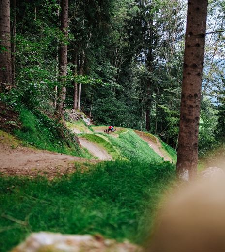
The Toghy Trail T02 is a shared trail that can be very well used as a connecting trail.
It represents an alternative to the asphalted bike path and is very suitable for bikers. Since it is a shared trail, we ask for respectful coexistence.
Mountainbiking
Difficulty
Medium
Distance
1,43 kmDuration
00:15 hUphill
52 mDownhill
9 mMax. Altitude
573 mMin. Altitude
520 mClosed
Map & Elevation Profile
Recommended Equipment
Helmet, suitable mountain bike, water bottle necessary.
Features & Characteristics
Experience
Landscape
Endurance
Best Season
Jan
Feb
Mar
Apr
May
Jun
Jul
Aug
Sep
Oct
Nov
Dec
Arrival
Ostriach is easily accessible via the South Shore Road - it is best to take the Villach - Ossiacher See exit.


