Easy
Traumbogen Höhenrundweg
Hiking Trail
Information
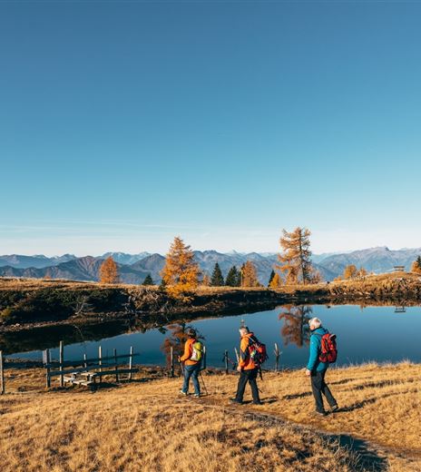
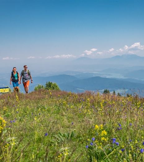
A path for body and mind around the summit of Gerlitzen Alpe.
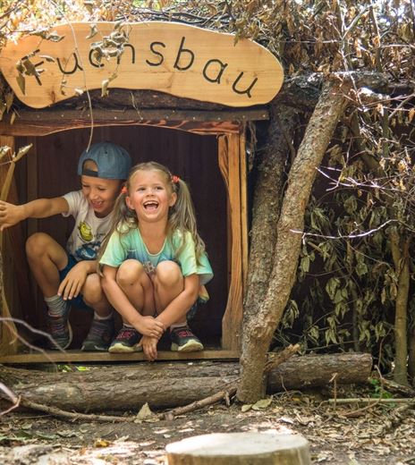
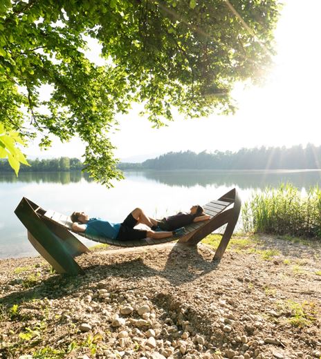
Various artists have created many places of peace and contemplation on the Gerlitzen Alpe in recent years, many of which line the route of the "Traumbogen" Höhenrundweg.
Hiking Trail
Difficulty
Easy
Distance
4,24 kmDuration
01:30 hUphill
152 mDownhill
152 mMax. Altitude
1908 mMin. Altitude
1791 mMap & Elevation Profile
Recommended Equipment
Trekking shoes with tread sole, backpack, functional underwear, rainwear, hiking poles, food and drink, map material, first aid kit, mobile phone, binoculars
Features & Characteristics
Experience
Landscape
Endurance
Best Season
Jan
Feb
Mar
Apr
May
Jun
Jul
Aug
Sep
Oct
Nov
Dec
Arrival
Annenheim is best accessed via the A10 exit "Villach-Ossiacher See." From there, take the Gerlitzen Kanzelbahn up to the summit.


