Medium
Schwarzsee circular hiking trail
Hiking Trail
Information
Moderate hike up to Schwarzsee.
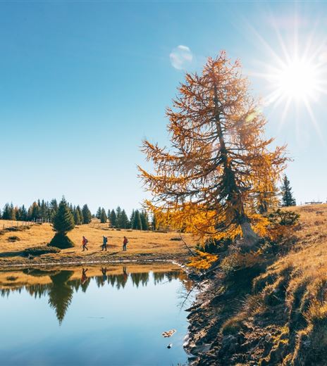
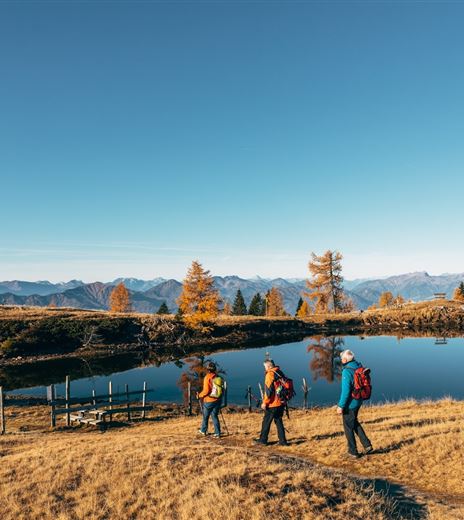
This hike leads to the idyllic Schwarzsee and back to the starting point by a different route.
Hiking Trail
Difficulty
Medium
Distance
7,67 kmDuration
02:45 hUphill
606 mDownhill
606 mMax. Altitude
1801 mMin. Altitude
1199 mMap & Elevation Profile
Recommended Equipment
Hiking boots, rain protection, and drinking water.
Features & Characteristics
Experience
Landscape
Endurance
Best Season
Jan
Feb
Mar
Apr
May
Jun
Jul
Aug
Sep
Oct
Nov
Dec
Arrival
The easiest way to reach Afritz is to take the "Villach - Ossiacher See" motorway exit and then follow the federal road towards Treffen and Radenthein. The turn-off to Verditzer Straße is on the left, in the middle of the...


