Hard

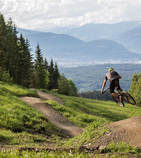
Blackgartner Trail - T45

Mountainbiking

Closed

Mountainbiking

Difficulty

Hard

Distance

574,00 m

Duration

00:02 h

Downhill

86 m

Max. Altitude

1011 m

Min. Altitude

925 m
Closed

Map & Elevation Profile

Recommended Equipment

(e)MTB, helmet, protective gear, water, mobile phone, GoPro ;-)

Features & Characteristics

Experience

Landscape

Endurance

Best Season

Jan

Feb

Mar

Apr

May

Jun

Jul

Aug

Sep

Oct

Nov

Dec

Arrival

Arrival at the starting point of the transfer route for mountain bikers:

From Villach via the B 83 and B 85 or via the B 84 and the L 53 to Faak am See. Drive directly here to the parking lot...

Similar Tours

Kopein Trail

Medium

Faaker See- Finkenstein- Kopein - T23

Mountainbiking

20,66 km

03:00 h

32 m

597 m

554 m

Closed
Bike-Trail-Wiese

Hard

Wieserwald route | nock/bike Route 19 with trail T19

Mountainbiking

16,08 km

03:15 h

868 m

1620 m

747 m

Closed
Samonigg Trail schwerer Teil

Hard

Samonigg Trail - T22 - sec.1

Mountainbiking

283,77 m

00:01 h

1 m

69 m

903 m

834 m

Closed
Toghy Trail T02 - Ossiacher See

Medium

Toghy Trail connection Ostriach - MTB route 12 - T02

Mountainbiking

1,43 km

00:15 h

52 m

9 m

573 m

520 m

Closed