Easy
Dobratsch Circuit - Stage 3
Hiking Trail
Information
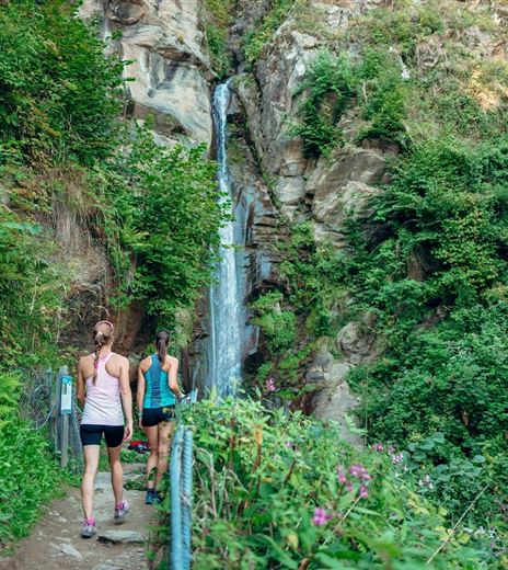
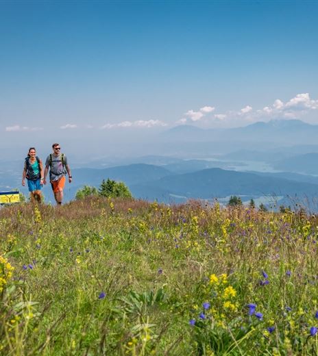
During the third stage you leave the hilly landscape behind and come to on picturesque village after the other. Although the way leads almost only through populated areas, you are always surrounded by a beautiful landscape. First stop is the...
Hiking Trail
Difficulty
Easy
Distance
16,50 kmDuration
05:00 hUphill
284 mDownhill
261 mMax. Altitude
685 mMin. Altitude
548 mMap & Elevation Profile
Recommended Equipment
Raincoat, good walking shoes , water , camera etc.
Features & Characteristics
Experience
Landscape
Endurance
Best Season
Jan
Feb
Mar
Apr
May
Jun
Jul
Aug
Sep
Oct
Nov
Dec
Arrival
Follow the A2 motorway towards Italy and take the exit "Hermagor" - this is the quickest way to get to Nötsch by car.


