Medium
Dobratsch - Jägersteig
Hiking Trail
Information
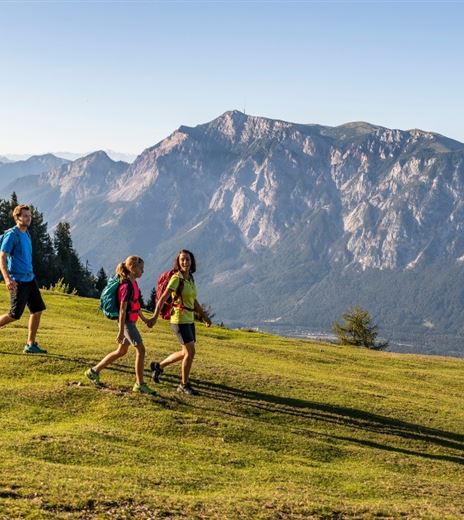
The trails at Dobratsch are very well marked. The Jägersteig is a narrow path, starting at the view point "Gamsblick", iand requires absolute surefootedness in rough and steep terrain. On the other hand, the descent is a wide gravel road,...
Hiking Trail
Difficulty
Medium
Distance
9,07 kmDuration
03:15 hUphill
542 mDownhill
542 mMax. Altitude
2166 mMin. Altitude
1732 mMap & Elevation Profile
Recommended Equipment
We suggest good hiking shoes, backpack, underwear, rainwear, hiking poles, food, drinks, maps, first aid and a mobile phone!
Features & Characteristics
Experience
Landscape
Endurance
Best Season
Jan
Feb
Mar
Apr
May
Jun
Jul
Aug
Sep
Oct
Nov
Dec
Arrival
Via the toll road from Villach-Möltschach up to the Rosstratte car park at 1,732 m above sea level. You will cover 16.5 km, 116 curves, 1,200 hm and enjoy sensational views of the Karst mountains and mountain peaks in neighbouring...


