Medium
Gerlitzen - Klösterle ski touring route
Back-country skiing
Information
Moderate ski route from Klösterle to Gerlitzen.
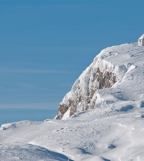
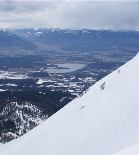
Via the technically easy route away from the pistes, ascend to the 1,911 m high Gerlitzen with a splendid panoramic view of the surrounding mountain world.
Back-country skiing
Difficulty
Medium
Distance
9,15 kmDuration
02:30 hUphill
901 mDownhill
900 mMax. Altitude
1908 mMin. Altitude
1007 mMap & Elevation Profile
Recommended Equipment
Ski touring ticket (= slope use/parking), ski touring equipment (avalanche transceiver, probe, shovel), change of clothes, warm drink, first aid, mobile phone.
Features & Characteristics
Experience
Landscape
Endurance
Best Season
Jan
Feb
Mar
Apr
May
Jun
Jul
Aug
Sep
Oct
Nov
Dec
Arrival
Starting from Villach, drive via the B98 Millstätter Straße towards Radenthein and turn off after Innere Einöde onto the Teuchen state road towards Arriach, following the road until Klösterle in Innerteuchen.


