Hard
Mittagskogel - normal route
Back-country skiing
Information
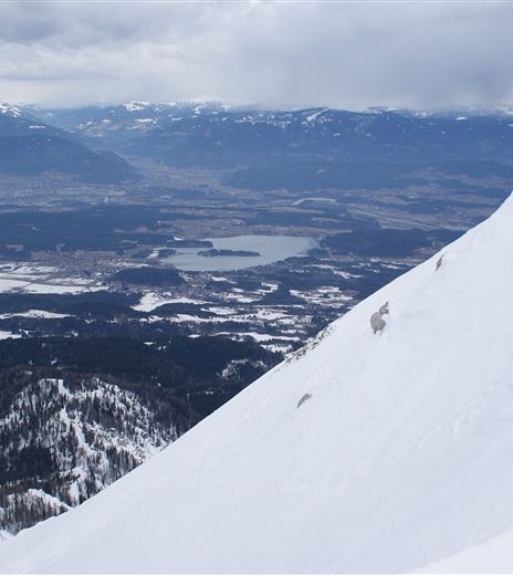
Difficult and alpine ski tour on the Mittagskogel.
This demanding tour can start either with the easy forest road or the steeper forest ascent to the Bertahütte and then continues via the normal ascent to the summit of the Mittagskogel.
Back-country skiing
Difficulty
Hard
Distance
4,29 kmDuration
04:30 hUphill
1148 mDownhill
63 mMax. Altitude
2141 mMin. Altitude
1036 mMap & Elevation Profile
Recommended Equipment
Ski touring equipment (avalanche transceiver, probe, avalanche shovel), crampons, change of clothes, warm drink, first aid, mobile phone.
Features & Characteristics
Experience
Landscape
Endurance
Best Season
Jan
Feb
Mar
Apr
May
Jun
Jul
Aug
Sep
Oct
Nov
Dec
Arrival
Coming from Villach or the Rosental valley, drive by car on the B85 (Rosentalstraße) to Unteraichwald and turn off at the Hotel Mittagskogel into Kopeiner Straße. At the Kopein junction, leave the paved road and turn right towards the Bertahütte.


