Hard
PROlitzen Trail - T34
Mountainbiking
Information
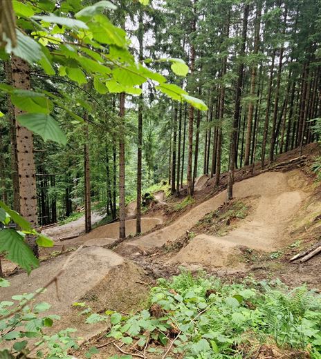
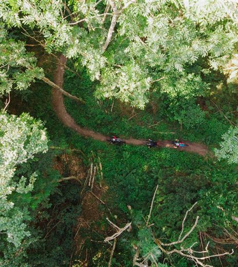
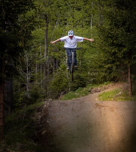
Probably the most difficult mountain bike trail in the Villach region, the PROlitzen Trail T34.
The PROlitzen Trail - T34 - is probably the most difficult mountain bike trail in the Villach region. Marked by large jumps, rock and root areas, drops, gaps, and extremely steep turns as well as technical sections, this trail is...
Mountainbiking
Difficulty
Hard
Distance
3,76 kmDuration
00:11 hDownhill
939 mMax. Altitude
1468 mMin. Altitude
529 mMap & Elevation Profile
Recommended Equipment
Riding the trail is only permitted with the necessary protective gear (full-face helmet, goggles, gloves, protective vest, elbow protectors, knee protectors, and suitable footwear) and a mountain bike suitable for this use (enduro MTB or downhill MTB) equipped with appropriate components (downhill suspension fork and shock absorber, suitable brakes, suitable...
Features & Characteristics
Experience
Landscape
Endurance
Best Season
Jan
Feb
Mar
Apr
May
Jun
Jul
Aug
Sep
Oct
Nov
Dec


