Medium
Sandy Trail - T80 (Jumpline)
Mountainbiking
Information
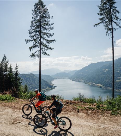
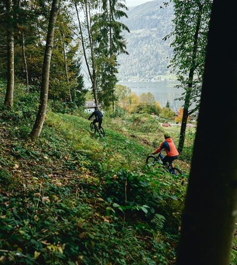
The Sandy Trail - T80 is a mountain bike trail for advanced riders directly at Lake Ossiach.
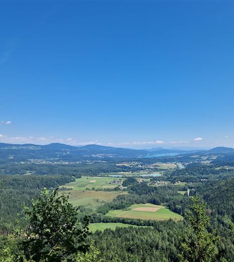
The Sandy Trail - T80 is a mountain bike trail for advanced riders, which also offers great fun for very skilled bikers. It is characterized by its natural construction combined with plenty of jumps and airtime. Fabulous views of the...
Mountainbiking
Difficulty
Medium
Distance
413,00 mDuration
00:02 hDownhill
44 mMax. Altitude
631 mMin. Altitude
586 mMap & Elevation Profile
Recommended Equipment
Riding the trail is only permitted with the necessary protective gear (helmet, goggles, gloves, protectors, and suitable shoes) and a mountain bike suitable for this use!
It is also recommended to carry a functioning mobile phone for emergency calls and, of course, for taking photos, a first aid kit,...
Features & Characteristics
Experience
Landscape
Endurance
Best Season
Jan
Feb
Mar
Apr
May
Jun
Jul
Aug
Sep
Oct
Nov
Dec
Arrival
From Villach via the L49 to Ossiach.


