Medium
Dobratsch Loop - The route around the nature park - Stage 02
Hiking Trail
Information
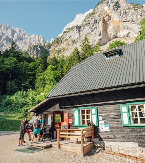
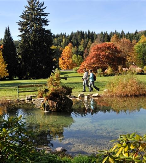
The second stage moves from the northern side of the Dobratsch into the Lower Gail Valley, passing through very different landscapes. While the first section is still dominated by mining, you soon reach rural areas, finally descending into the shady...
Hiking Trail
Difficulty
Medium
Distance
17,91 kmDuration
05:00 hUphill
257 mDownhill
599 mMax. Altitude
1031 mMin. Altitude
562 mMap & Elevation Profile
Recommended Equipment
Mountain boots with treaded soles, backpack, functional underwear, rainwear, hiking poles, food and drink, maps, first aid kit, mobile phone and GPS
Features & Characteristics
Experience
Landscape
Endurance
Best Season
Jan
Feb
Mar
Apr
May
Jun
Jul
Aug
Sep
Oct
Nov
Dec
Arrival
The Bad Bleiberg high valley can be reached via the Tauern Autobahn (A10), Villach West exit, and the Bleiberger Landesstraße (L35).


