Medium
Dobratsch Loop - The route around the nature park - Stage 04
Hiking Trail
Information
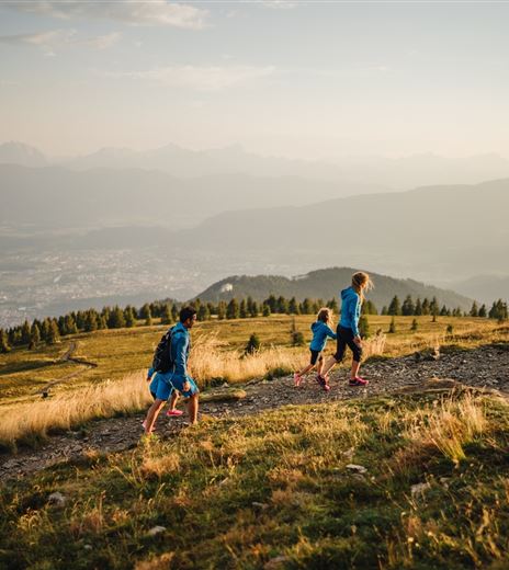
The fourth stage of the circular hiking trail leads to the Three Country Corner, the highest point of the circular hiking trail and the geological intersection of the Carnic Alps and the Karawanks. In just a few steps, you cross...
Hiking Trail
Difficulty
Medium
Distance
16,28 kmDuration
06:00 hUphill
969 mDownhill
1042 mMax. Altitude
1508 mMin. Altitude
576 mMap & Elevation Profile
Recommended Equipment
Mountain boots with treaded soles, backpack, functional underwear, rainwear, hiking poles, food and drink, maps, first aid kit, mobile phone and GPS
Features & Characteristics
Experience
Landscape
Endurance
Best Season
Jan
Feb
Mar
Apr
May
Jun
Jul
Aug
Sep
Oct
Nov
Dec
Arrival
The starting point in Thörl Maglern can be reached via the Southern Autobahn (A2), exit Arnoldstein and Kärntner Straße (B83).


