Medium
Panorama trail Schwarzsee - Palnock
Mountain Tour
Information
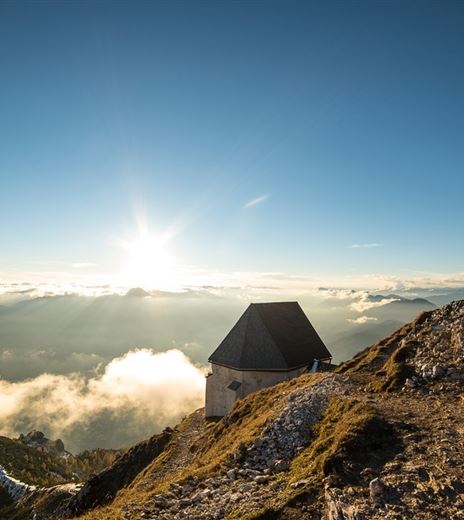
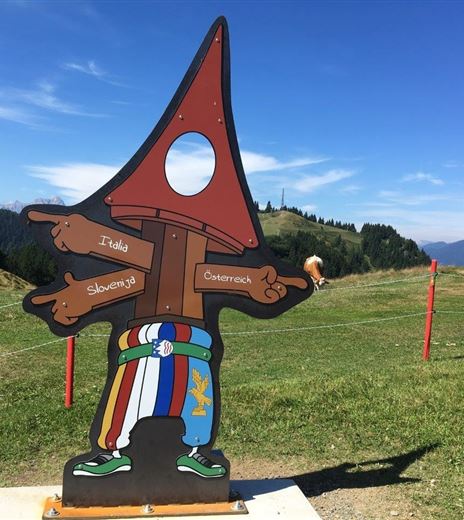
Verditz-Schwarzsee, the climatically favored mountain recreation area at an ideal altitude (600 - 1900 m above sea level) in the Carinthian Nock Mountains invites you to relax and unwind with its diverse sports and hiking offerings.
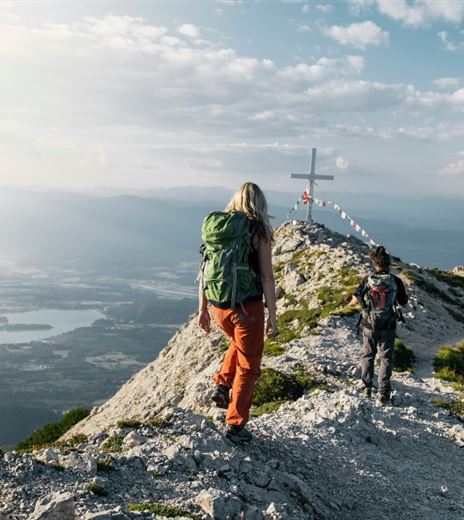
This circular route leads over Schwarzsee to Palnock and back to the starting point.
Mountain Tour
Difficulty
Medium
Distance
11,81 kmDuration
05:15 hUphill
696 mDownhill
696 mMax. Altitude
1890 mMin. Altitude
1212 mMap & Elevation Profile
Recommended Equipment
Good footwear, rain protection, and drinking water.
Features & Characteristics
Experience
Landscape
Endurance
Best Season
Jan
Feb
Mar
Apr
May
Jun
Jul
Aug
Sep
Oct
Nov
Dec
Arrival
The easiest way to reach Afritz is to take the "Villach - Ossiacher See" motorway exit and then follow the federal road towards Treffen and Radenthein. The entrance to Verditzer Straße is on the left side, in the middle of...


