Tourism Website
Have you got any questions or requests? - Please use our free live-chat to contact us.
start live-chatAction or relaxation? On Gerlitzen Alpe you will find not only a hiking, paragliding and leisure paradise, but also the most beautiful panorama in the region.
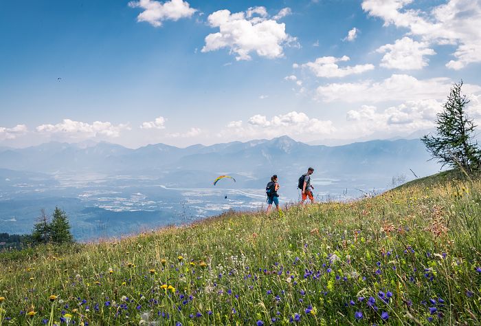
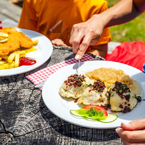
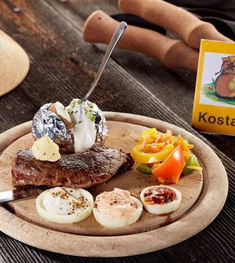
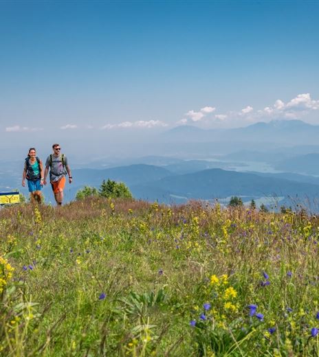
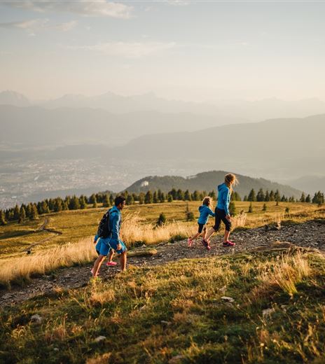
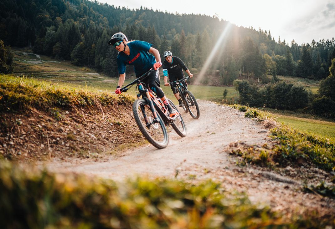
Mountains, panorama, magical light. Those who stand up here will see Carinthia with other eyes, because Gerlitzen alpe has been more than richly blessed and as a popular trip mountain offers a wonderful mix of everything we like: grandiose circuits, powerful peak conquering, rustic mountain chalets, interesting Nordic walking trails, leisurely mountain bike tours, exhilarating descents with the mountain cart track (Pistenflitzer) and much more besides.
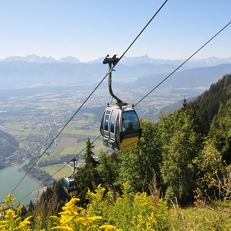
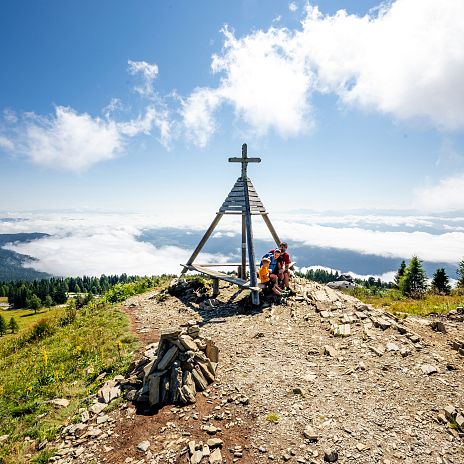
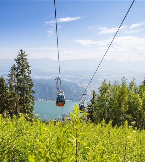
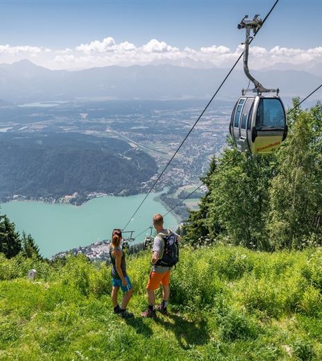
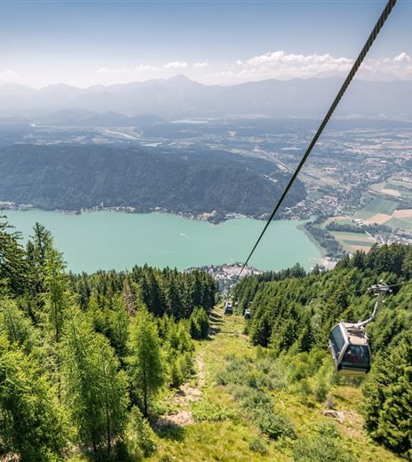
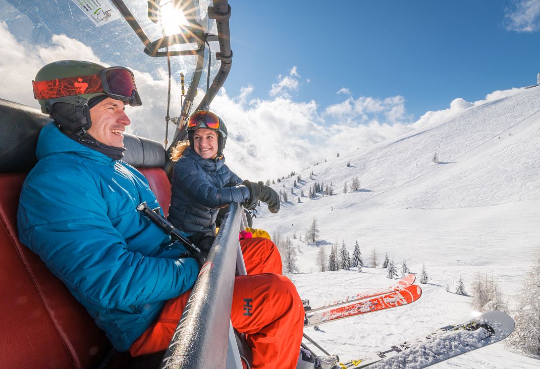
Endless distant views. Gerlitzen Alpe rises directly by the north shore of Ossiacher See. The panoramic Kanzelbahn cable car also runs from there, as well as the Gerlitzen Gipfelbahn to the peak at around 2000 metres above sea level. can you already see it? Below you stretches the most beautiful panorama in Carinthia. Almost the whole regional world of lakes lies at your feet, offering endless "distant viewing". One could sing a Carinthian song about this breathtaking view.
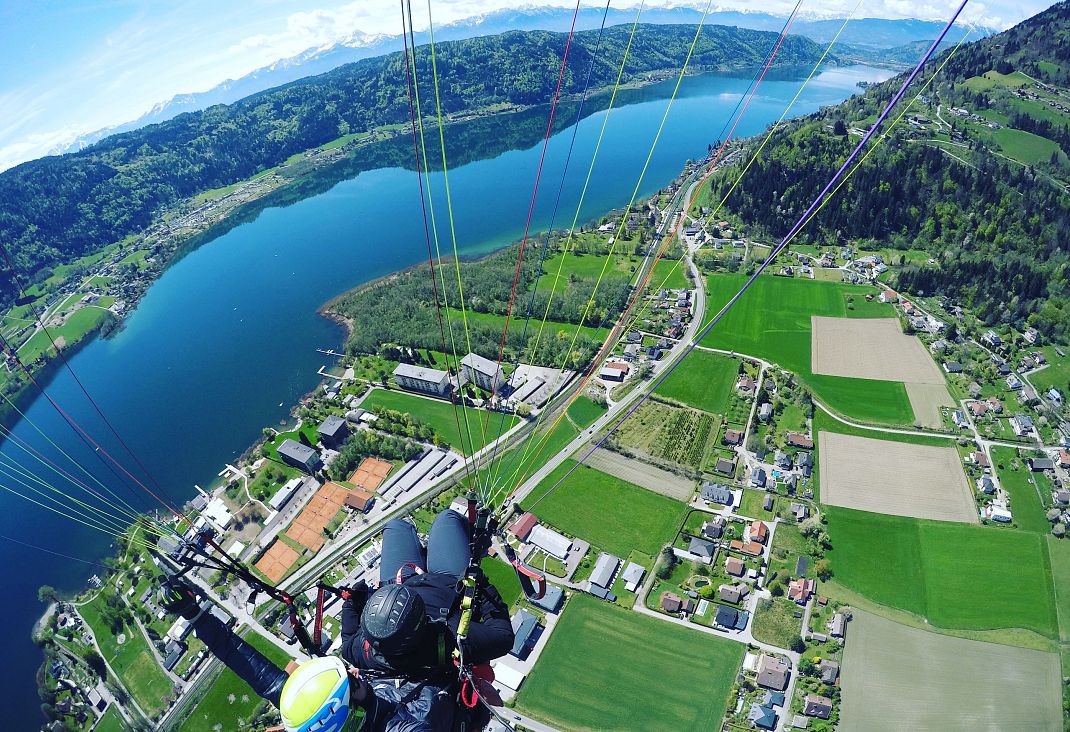
Best thermal lift. Would you like to experience the Carinthian mountains and lakes landscape from a birds'-eye perspective? Perfect! Gerlitzen Alpe is considered the most beautiful flying mountain in Austria. The starting area is right next to the peak station of the Gerlitzen Gipfelbahn. Interesting also for non-flyers: watching the paragliders, hang-gliders and model plane flyers.
Here are all the details for your adventure on Gerlitzen Alpe: www.gerlitzen.com
IMPORTANT ADVICE FOR SAFE HIKING
In the Gerlitzen Alpe - Ossiacher See cycling and hiking guide, recommended tours are suggested, whose description by no means replaces thorough preparation or use of a suitable hiking map. In the following we provide you with some essential considerations and important advice for safe hiking.
BEFORE THE HIKE
• Adjust your plans according to your and your companions' abilities (walking time, altitude, difficulty, orientation, fitness, family friendliness).
• Inform yourself about the starting and finishing point, course, path numbers and particularities of the tour with a hiking map (scale 1: 25.000). Can you read a map if necessary?
• Get a current weather report the day before and before departing. Also ask the locals, as they can judge the regional weather better. Postpone your plans if the weather conditions are uncertain or extreme.
• Only embark on your hike with suitable equipment (rucksack, outdoor clothing, suitable footwear with a profiled sole, sun, rain and cold protection, orientation material such as a map, compass, GPS, mobile phone, plasters and bandages etc.)
• Take enough refreshments. Drink plenty, but no alcohol.
• Leave information at your accommodation about where you are going and when you plan to return.
DURING THE HIKE
• Starten your hike at a leisurely pace, take less fit companions into consideration.
• During your breaks, check your location on your hiking map and set your next specific route target.
• Never leave the waymarked trails and do not regard forest paths and tracks as public hiking trails.
• Protect the flora and fauna! Take rubbish with you and never leave more than your footsteps.
• Keep your distance from cows and their calves! Do not feed, disturb or stroke game and pasture animals!
• Keep dogs on the leash! Avoid pastures and suckler cows. In case of danger due to cattle, let go of the leash and bring yourself into safety!
• Please note the special prohibitions and instructions in the nature reserve areas.
• Pay strict attention in rubble and when crossing slopes to not kicking loose any stones!
• Also pay attention to indications of bad weather and in case of doubt break off the tour IMMEDIATELY.
• In case of accidents, keep calm and inform the mountain rescue through other hikers, mobile phone etc.
• Euro emergency number: 112, mountain rescue: 140
AFTER THE HIKE
• Report your return at the accommodation.
• Help to improve the quality! Inform your host or the local tourism office about deficiencies (markings, signs, obstructions, dangerous areas etc.) on the tour.
Loading
Just a moment, please